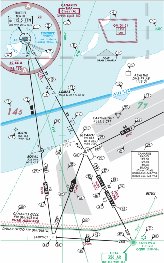
MINIMUM ENROUTE IFR ALTITUDE (MEA)
— The lowest published altitude between radio fixes or waypoints that meets obstacle clearance requirements between those fixes or waypoints and in many countries assures acceptable navigational signal coverage. The MEA applies to the entire width of the airway, segment, area navigation low or high route or other direct route between the radio fixes or waypoints defining the airway, segment or route.
->
The lowest published altitude between radio fixes on an airway that ensures both adequate navigational signal coverage and obstacle clearance.
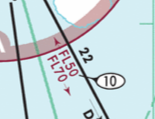
MINIMUM OBSTRUCTION CLEARANCE ALTITUDE (MOCA)
— The lowest published altitude in effect between radio fixes on VOR airways, off airway routes, or route segments which meets obstacle clearance requirements for the entire route segment and in the USA assures acceptable navigational signal coverage only within 22NM of a VOR.
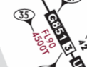
MINIMUM OFF ROUTE ALTITUDE (MORA)
— This is an altitude derived by Jeppesen. The MORA provides known obstruction clearance 10NM either side of the route centerline including a 10NM radius beyond the radio fix reporting or mileage break defining the route segment. For terrain and man-made structure clearance refer to Grid MORA.
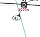
GRID MINIMUM OFF ROUTE ALTITUDE (Grid MORA)
— An altitude derived by Jeppesen or provided by State Authorities. The Grid MORA altitude provides terrain and man-made structure clearance within the section outlined by latitude and longitude lines. MORA does not provide for navaid signal coverage or communication coverage.
a. Grid MORA values derived by Jeppesen clear all terrain and man-made structures by 1000ft in areas where the highest elevations are 5000ft MSL or lower. MORA values clear all terrain and man-made structures by 2000ft in areas where the highest elevations are 5001ft MSL or higher. When a Grid MORA is shown as “Unsurveyed” it is due to incomplete or insufficient information. Grid MORA values followed by a +/- denote doubtful accuracy, but are believed to provide sufficient reference point clearance.
b. Grid MORA (State) altitude supplied by the State Authority provides 2000ft clearance in mountainous areas and 1000ft in non-mountainous areas.
'KNOWLEDGE' 카테고리의 다른 글
| AIR-GROUND COMMUNICATIONS FAILURE - doc 4444 (0) | 2026.10.08 |
|---|---|
| SNOTAM FORMAT (0) | 2026.04.18 |
| The Influence of V₁ on Accelerate-Go and Accelerate-Stop Distances (0) | 2025.10.20 |
| How to Find Official Aeronautical Charts for Vietnam (AIP & Airport Charts) (0) | 2025.08.07 |
| WAKE TURBULENCE SEPARATION (Time based and Distance based) (0) | 2025.07.02 |


